SmartMate GNSS Measuring Application
Product Summary
- i-Con
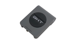
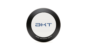
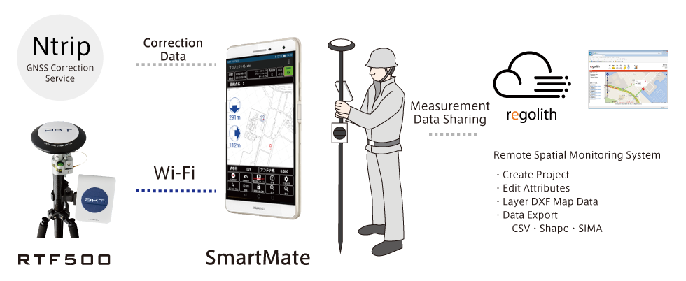
SmartMate is a positioning and measuring application for highly accurate and highly precise measurement operation. By using our Dual-Frequency RTK-GNSS Receiver RTF500 connected via WiFi and regolith cloud based spacial management system, positioning and measuring operations can be worked on, recorded and processed easily. Data can be exported as a Shapefile, CSV or SIMA file format.
Features
SmartMate Main Features
- Point, Objective and Line Measurement Modes
- Automatic Map Layering
- SIMA/CSV/Shapefile Data Export
- Connect to RTF500 via WiFi
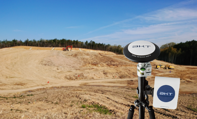
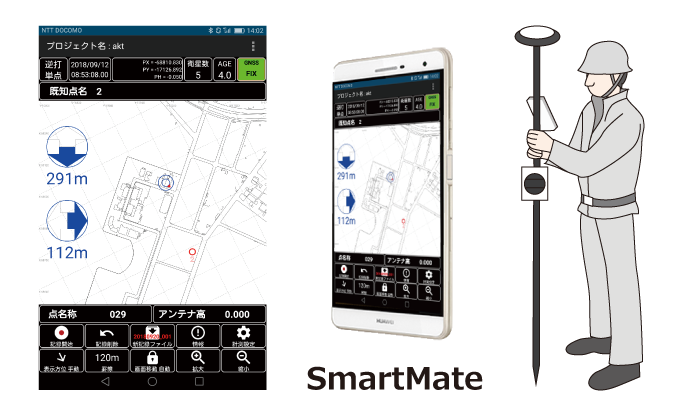
System Overview (Picture Example)
- Get High Accuracy Positioning Data using Smartphone/Tablet
- Simple Settings, Plug and Play Design
- Automatic Positional Data upload for Lightning Fast Analysis using Regolith
Operation Example (Picture Example)
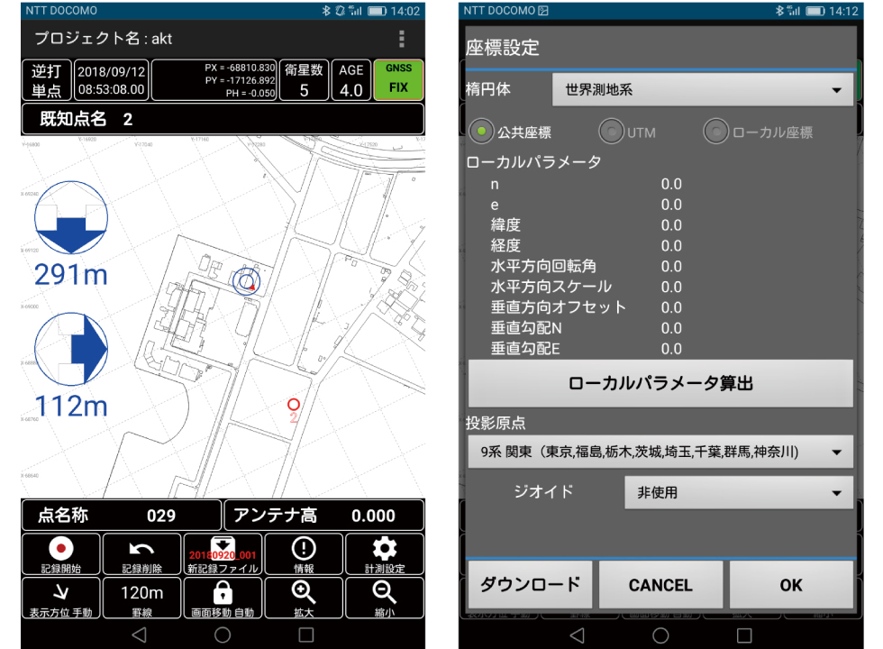
3 Measurement Modes
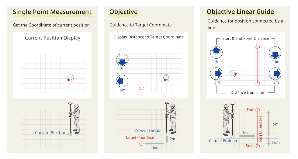
- 3 installed measurement modes.
- Area measurement and line measurement compatible
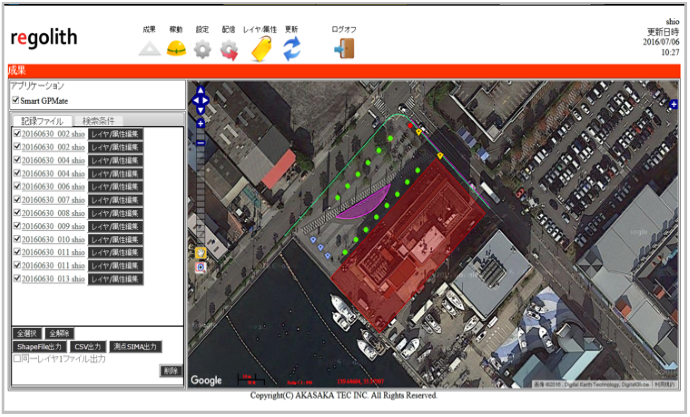
Regolith Spacial Management System
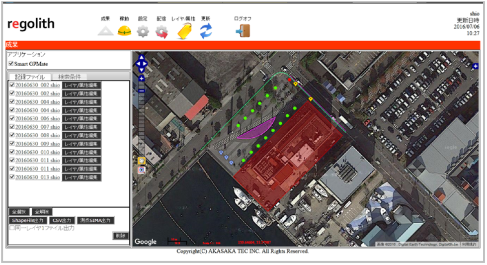
Regolith is a management system for visualisation of measurement data uploaded from SmartMate and overlay it on top of a map. The map can be of pre-existing or self taken aerial shots of the measured area for easy analysis.
GIS Standard Shapefile, CSV and SIMA Export File Format Compatible. On screen data analysis is also possible natively.
- SIMA/CSV/Shapefile Compatible
- GoogleMap Backing Compatible
- Data Management
- Fast Data Import from SmartMate
Example and Interview
Below is a real life use example of SmartMate and RTF500 in the field. The video includes interviews with Yoshimitsu Gumi during a disaster recovery program in Ishikawa Prefecture.
You can access the video on youtube by clicking this link
https://youtu.be/1BpnMU-F1_U